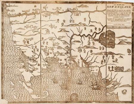
The Society's collection of 10,000 maps focuses primarily on the United States, although there are maps representing all parts of the world. The strengths of the collection are maps of New England of the eighteenth and nineteenth centuries and, more specifically, maps of Massachusetts. AAS is in the process of cataloging and digitizing its cartographic holdings.
Access
All maps printed before 1820 have been cataloged in the General Catalog. Follow the link in each General Catalog record to view a scanned image of each map.
All manuscript maps ranging in date from 1672 to 1945 have also been cataloged in the General Catalog. Follow the link in each General Catalog record to view a scanned image of each map.
The Society also has a collection of pocket maps which were intended to be carried and used during travel. The maps are usually small in size and fold neatly into a leather or paperboard binding. There are over six hundred of these maps in the collection, ranging in date from the 1820's through the end of the nineteenth century. This collection has been cataloged in the General Catalog. Links in the General Catalog to scanned images are available for a portion of the collection.
The atlas collection consists of about 650 volumes, dating from the late sixteenth century to the early twentieth century. Although there are many world atlases, the focus of the collection is atlases of the United States, particularly New England. There are atlases designed for school use as well as folio volumes devoted to maps of particular states, counties, and cities. The entire collection has been cataloged in the General Catalog.
Resources
A small sample (137) of the Society's pre-1800 maps are included in the American Revolutionary War Era Maps (1750-1800) resource at the Norman Leventhal Map Center of the Boston Public Library.